Introducing Climate-Smart Mapping and Adaptation Planning in Cambodia
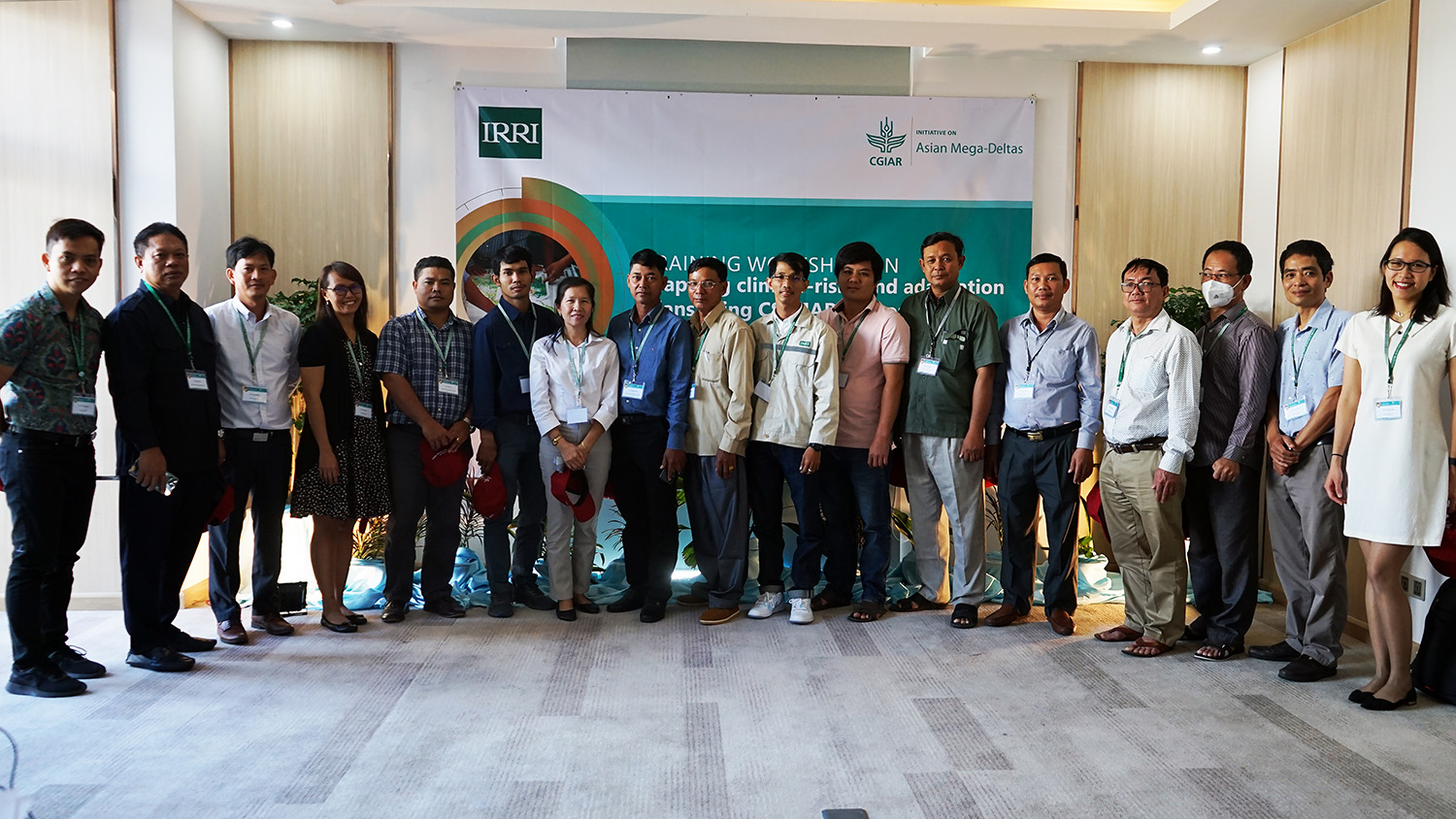
To provide technical support on participatory climate-risk mapping and adaptation planning, the CGIAR Initiative on Asian Mega-Deltas conducted a training workshop on Climate-Smart Mapping and Adaptation Planning (CS-MAP) for local research partners in Phnom Penh, Cambodia on 19-20 December 2022. The workshop introduced the CS-MAP approach as the tool for conducting the mapping activities in the AMD target provinces in Cambodia, such as Kandal, Takeo, Prey Vieng, and Svay Rieng.
Developed and implemented by the Department of Crop Production of Vietnam and the CGIAR Research Program on Climate Change, Agriculture and Food Security in Southeast Asia from 2016 to 2020, CS-MAP is a participatory approach that integrates local knowledge and science-based researches in developing maps of climate-related risks and adaptation plans for crop production, suitable to location-specific conditions. It has been effectively implemented in five ecological regions of Vietnam, including the Mekong River Delta region, in order to help farmers mitigate climate-related risks, such as flooding, drought and salinity intrusion.
Dr. Bui Tan Yen, Senior Scientist at the International Rice Research Institute (IRRI) – Vietnam, emphasized that “CS-MAP is the methodology and not the maps”. He shared that CS-MAP takes into consideration the local specific conditions and the conflicts in natural resources management, and support climate-smart management of food production.
Dr. Yen also explained the scientific basis of implementing CS-MAP in Cambodia's context. He presented the historical statistics of climate-related risks in Cambodia and current gaps in risk management in agriculture. He also demonstrated how multiple layers including spatial risk data, land cover, main food products and other spatial data are combined to produce the base-map for the participatory CS-MAP process.
To give a better context of the local food systems and vulnerability risk in the targeted provinces in preparation for CS-MAP activities, Ms. Trang Vu, Associate Scientist at IRRI Vietnam, presented the findings of the AMD team’s field visits to Kandal and Takeo provinces in October 2022. She reported on the key agricultural products (i.e., rice, vegetables, fish, and poultry) and main climate-related risks that had strong effect on agricultural production (i.e., drought, flood), as well as the current system for disaster warning and response in these areas.
Ms. Trang also discussed the four supporting tools for participatory discussion and mapping, such as focus group discussion, key informant interview, climate risk listing, and pairwise ranking. These are the tools to be used in conducting the participatory mapping process.

Using hands-on approach, Dr. Yen introduced each of the steps in the CS-MAP process, including the objectives, outputs, methods, required materials and equipment, and specific activities for each step. The participants were divided into two groups to practice developing risk map and adaptation plans for Kandal Stueng district and S’ang district of Kandal province. They were also given the opportunities to lead the facilitation, especially the participants from Department of Agricultural Land Resources Management (DALRM) - General Directorate of Agriculture, WorldFish Cambodia, and IRRI Cambodia, as they will lead the CS-MAP process in the four AMD target provinces
In her closing remarks, Dr. Rica Joy Flor, Innovation Systems Scientist at IRRI Cambodia, said that the workshop is a great start for the participants to make a solid contribution to the AMD initiative. She stressed that “now we have the tools and the capacity in us to bring this down (the CS-MAP process) to the level of our partners in the provinces.” She encouraged all the participants to work on this together to deliver results that can be shared at the national level and can influence the production systems at the farmers’ level.