Mainstreaming Climate-Smart Maps and Adaptation Plans (CS-MAP) in Vietnam’s Policy Framework
To integrate Climate-Smart Maps and Adaptation Plans (CS-MAP) in the policy framework of Vietnam’s Ministry of Agriculture and Rural Development (MARD), a policy dialogue event was held last October 19, 2021 with the support from the CGIAR Research Program on Climate Change, Agriculture and Food Security in Southeast Asia (CCAFS SEA) – hosted by IRRI Vietnam Office and jointly organized by the Department of Crop Production (DCP) of MARD.
MARD Vice Minister Dr. Le Quoc Doanh presided the hybrid event which attracted the attention and participation of different stakeholders and partners from the national agencies, 43 provinces implementing CS-MAP, international donors, and other affiliated agencies from other countries.
Developed by DCP-MARD and CCAFS SEA, Climate-Smart Maps and Adaptation Plans are a participatory approach that integrates local knowledge and science-based researches in developing climate-related risks maps and adaptation plans for rice production, suitable to location-specific conditions. It has been effectively implemented in five ecological regions of Vietnam in order to help farmers mitigate climate-related risks, such as flooding, drought and salinity intrusion.
Integrating to the policy framework
During the policy dialogue event, mainstreaming of CS-MAP in the socio-economic development policies and plans, both at the national and local levels, took place. The development and implementation proposal of CS-MAP into the government’s policy framework was drafted by DCP-MARD which include national and sectoral policies and plans, such as the National Plan to adapt to climate change, identification of Nationally Determined Contribution (NDC) to aid mitigation in the agricultural sector, and the national and regional agricultural restructuring plan for 2021-2025.
CS-MAP was also proposed to be included in national and local agriculture development plans as a response to agricultural land use planning (including rice land conversion) and be utilized as an important tool for climate change adaptation and disaster prevention.
The discussion highlighted the success factors, opportunities, and potential applications of CS-MAP and tackled barriers in integration in terms of policy, technical, financial, and human resources and capacity building support.

Empowering local implementers
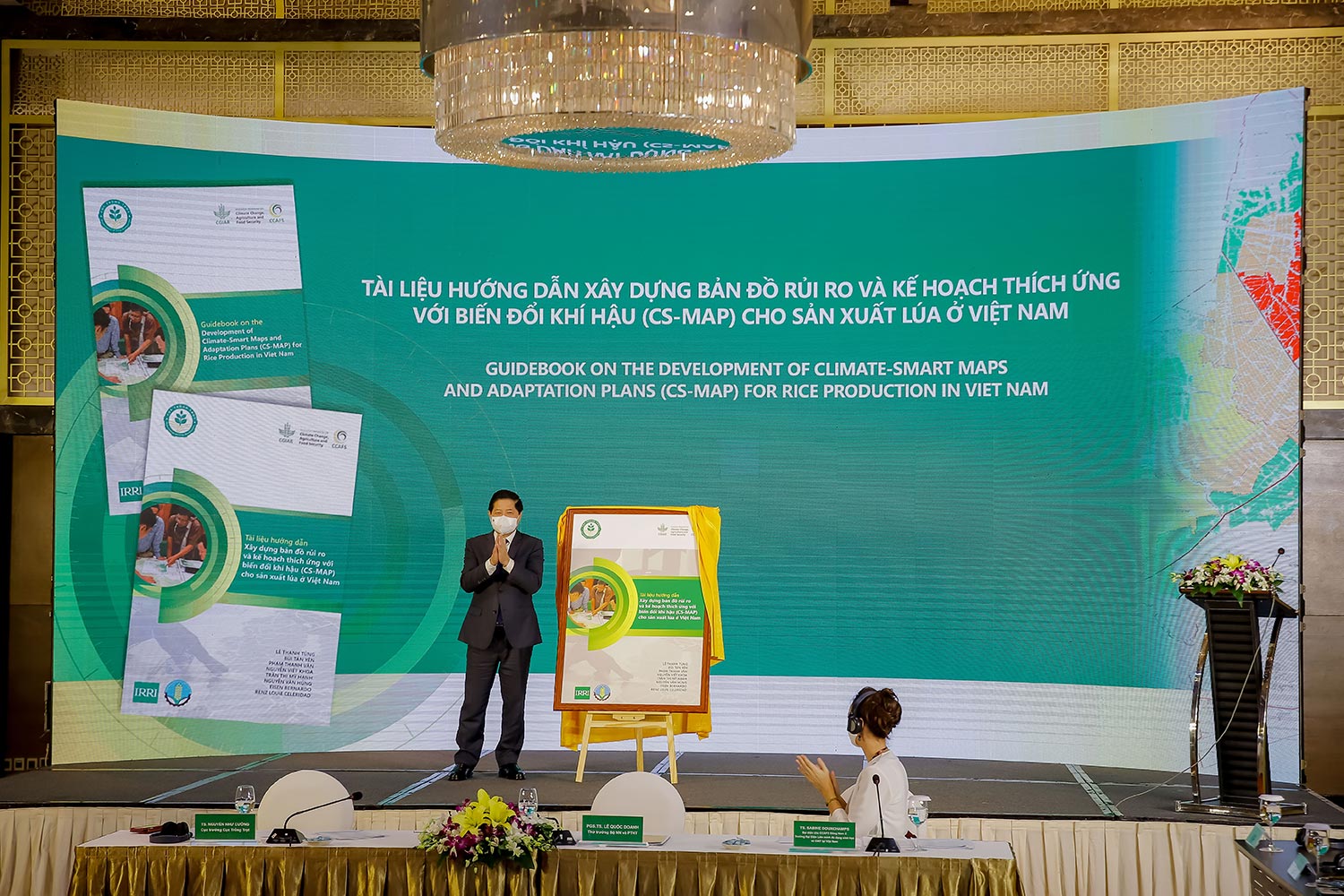
An official launching and turnover of a set of CS-MAP knowledge products to local partners also took place during the event which include an instructional video and guidebook on CS-MAP, as well as five atlases produced to ensure the sustainability of CS-MAP application and build the capacity of local implementers.
The compilations of CS-MAPs for the major agro-ecological regions of Vietnam include the Mekong River Delta, Red River Delta, South Central Coast, North Central Coast, and CS-MAP application for fruit trees. These publications contain all maps both for normal and extreme years, covering 43 provinces of the country.
MARD has selected the development and implementation of CS-MAP as a success story for innovations to transform and build resilience of the agriculture sector to report at COP26 in November 2021.
