Vietnam expands CS-MAP program after successful implementation in Mekong Delta
The Winter-Spring rice crop of 2019-2020 was a successful harvest in the Mekong River Delta (MRD), Vietnam despite the most severe salinity intrusion in history. The salt-water intrusion period in 2020 started almost 3 months earlier and lasted longer compared with the previous years’ averages*; the salinity levels constantly remained at high levels from February to May, threatening rice production. Nevertheless, MRD provinces managed to win big – the result of a set of adaptive measures, particularly the shift in cropping structure and sowing and harvesting calendars, guided by the implementation of the Climate-Smart Mapping and Adaptation Planning (CS-MAP) approach.
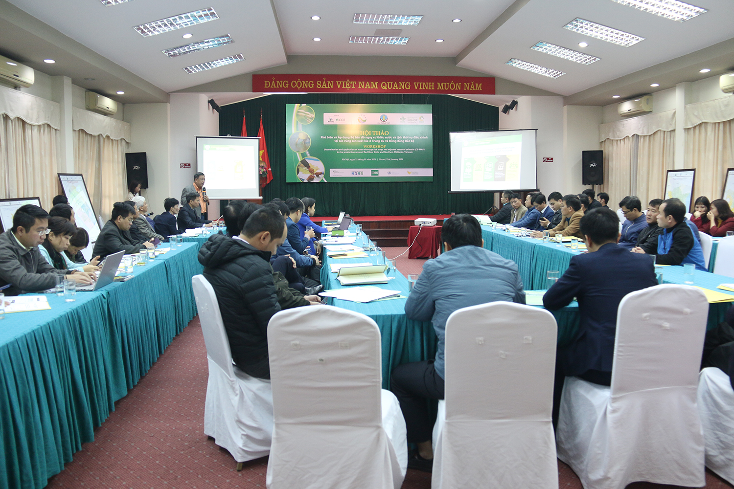
The CS-MAP methodology was developed by scientists of the International Rice Research Institute (IRRI) within the CGIAR Research Program on Climate Change Agriculture and Food Security in Southeast Asia (CCAFS-SEA) and in cooperation with Vietnam’s Ministry of Agriculture and Rural Development (MARD). This approach was a response to the increasing adverse impacts of climate phenomena that negatively affect agriculture production in Vietnam. In 2018, IRRI-CCAFS started working with the Department of Crop Production (DCP) and local partners to develop the CS-MAP for 13 provinces in the Mekong River Delta region. The maps provided guidance for DCP to adjust the cropping pattern and the planting schedule in the MRD, and successfully shifted rice production in these provinces out of salinity periods. DCP then requested for IRRI-CCAFS’ technical assistance to replicate this methodology to the South-Central Coast and the Red River Delta (RRD) regions of the country. Working with DCP, CIAT, and local stakeholders in four South-Central Coast provinces, IRRI-CCAFS produced drought-risk maps and production adaptation maps to assist water administration for crop production, to combat the effects of droughts. In the RRD and Northern Midland provinces, on the other hand, the CS-MAP method was applied to respond to water shortage risks. The water discharge schedule and cropping calendar for Winter-Spring season 2020-2021 in these 12 provinces as directed by MARD (Document No. 8278) was informed by the CS-MAPs. On 21st January 2021, Dr. Bjoern Ole Sander, IRRI’s representative to Vietnam, handed over the CS-MAPs to agriculture officials in 12 RRD provinces in a workshop held in Hanoi.

Following these successful implementations, IRRI-CCAFS is working with DCP, the National Agricultural Extension Center, and CIAT to downscale the CS-MAP methodology to the commune level within the Transforming Farming System under Climate Change (TFCC) initiative. DCP also continues CS-MAP-related capacity building activities as well as mapping and consultation workshops. In parallel, IRRI has conducted a study to analyze the relationship between the pattern of salinity intrusion and the spatiotemporal distribution of rice cultivation in the winter–spring crops in MRD’s coastal provinces using Sentinel-1 (S-1) data. The results confirm that rice has been sown 10-30 days earlier in the winter-spring season 2019-2020 and links this shift to a change in government policy and recommendations.
Read more:
- Scaling Climate-Smart Mapping and Adaptation Planning in Vietnam
- Sentinel-1 SAR Time Series-Based Assessment of the Impact of Severe Salinity Intrusion Events on Spatiotemporal Changes in Distribution of Rice Planting Areas in Coastal Provinces of the Mekong Delta, Vietnam
Source: http://www.hanoimoi.com.vn/tin-tuc/Khoa-hoc/970590/nhin-lai-han-man-lich-su-de-ung-pho-tot-hon
